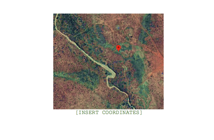
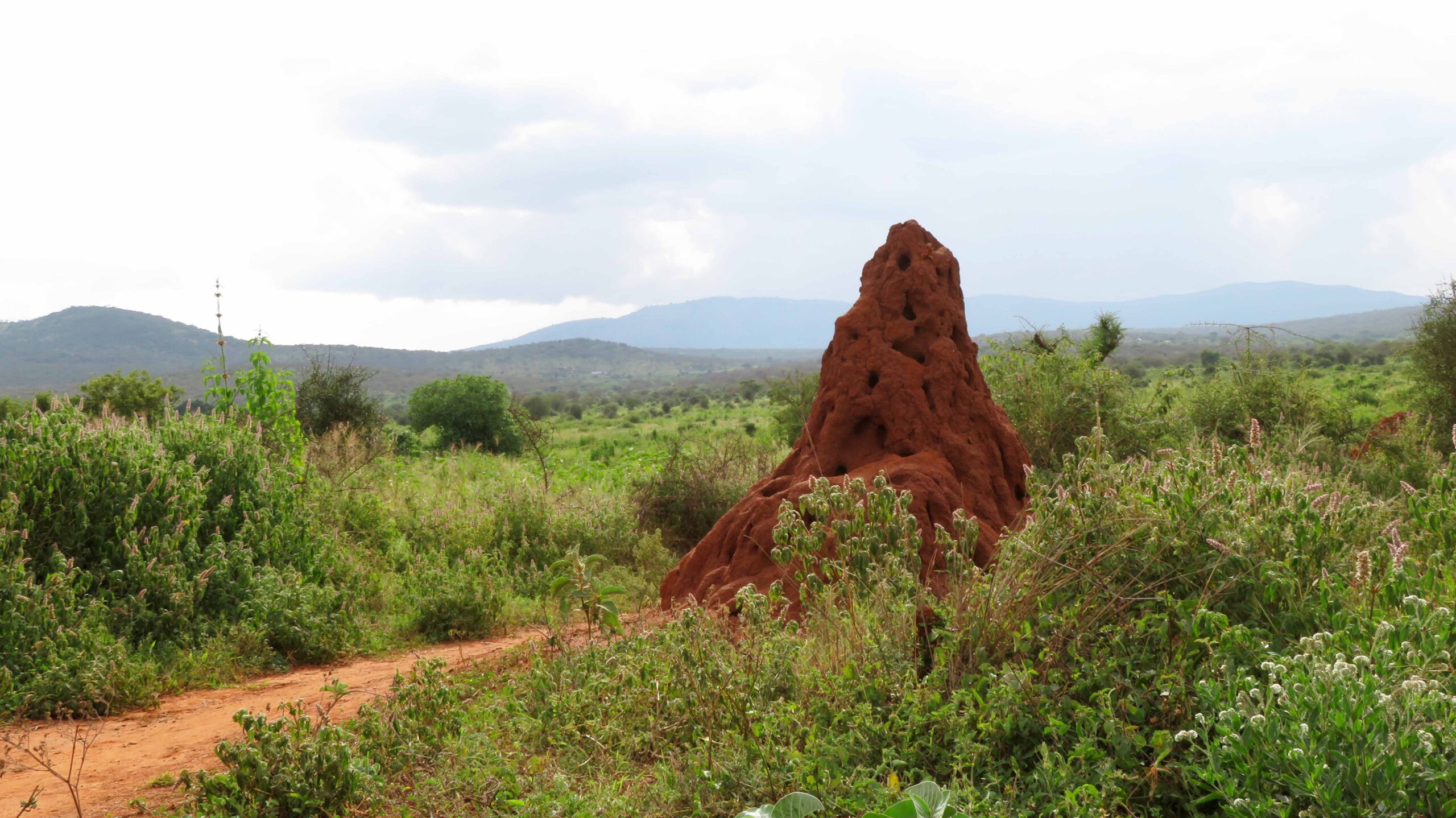
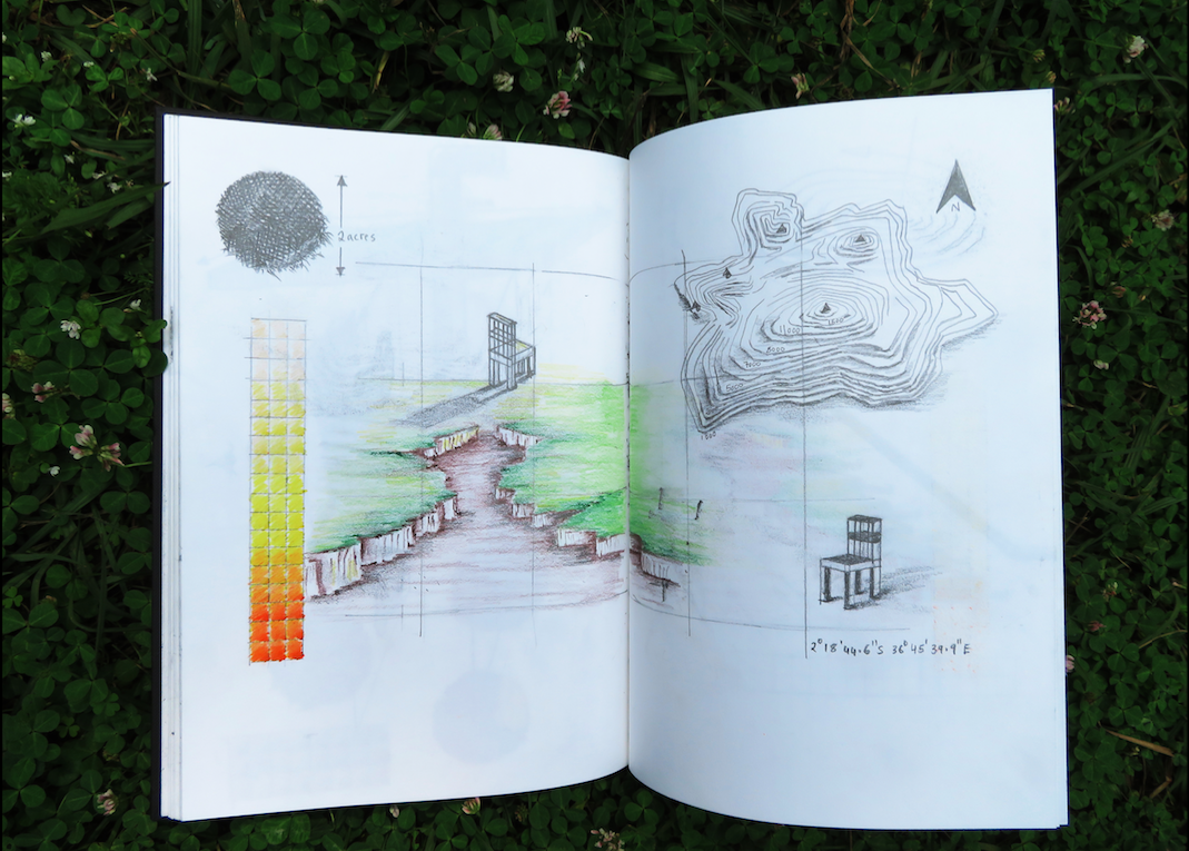
2°18’44.6” S 36°45’39.9” E
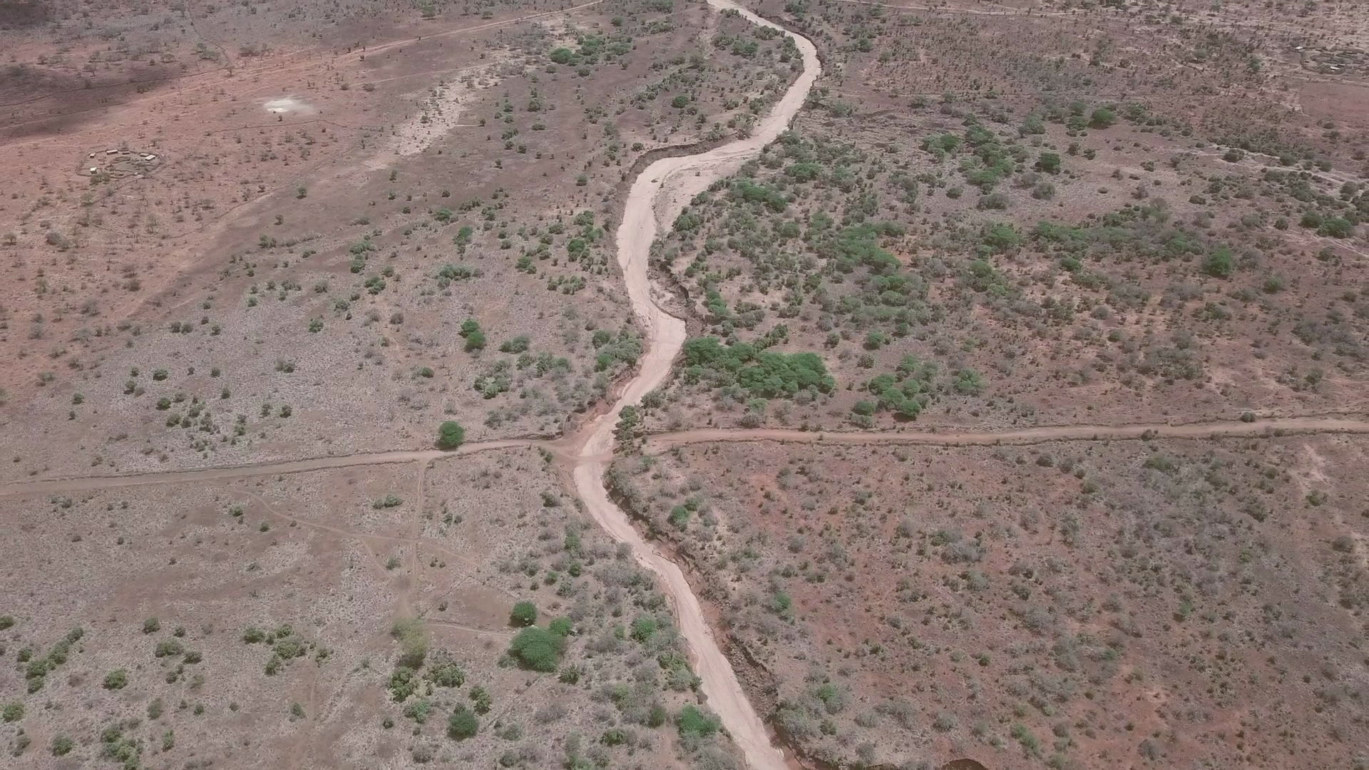
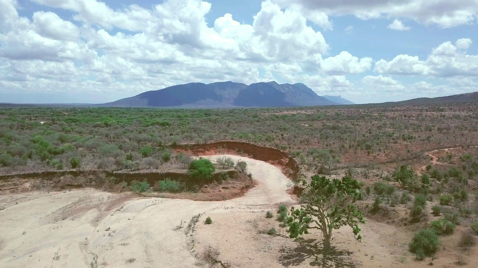
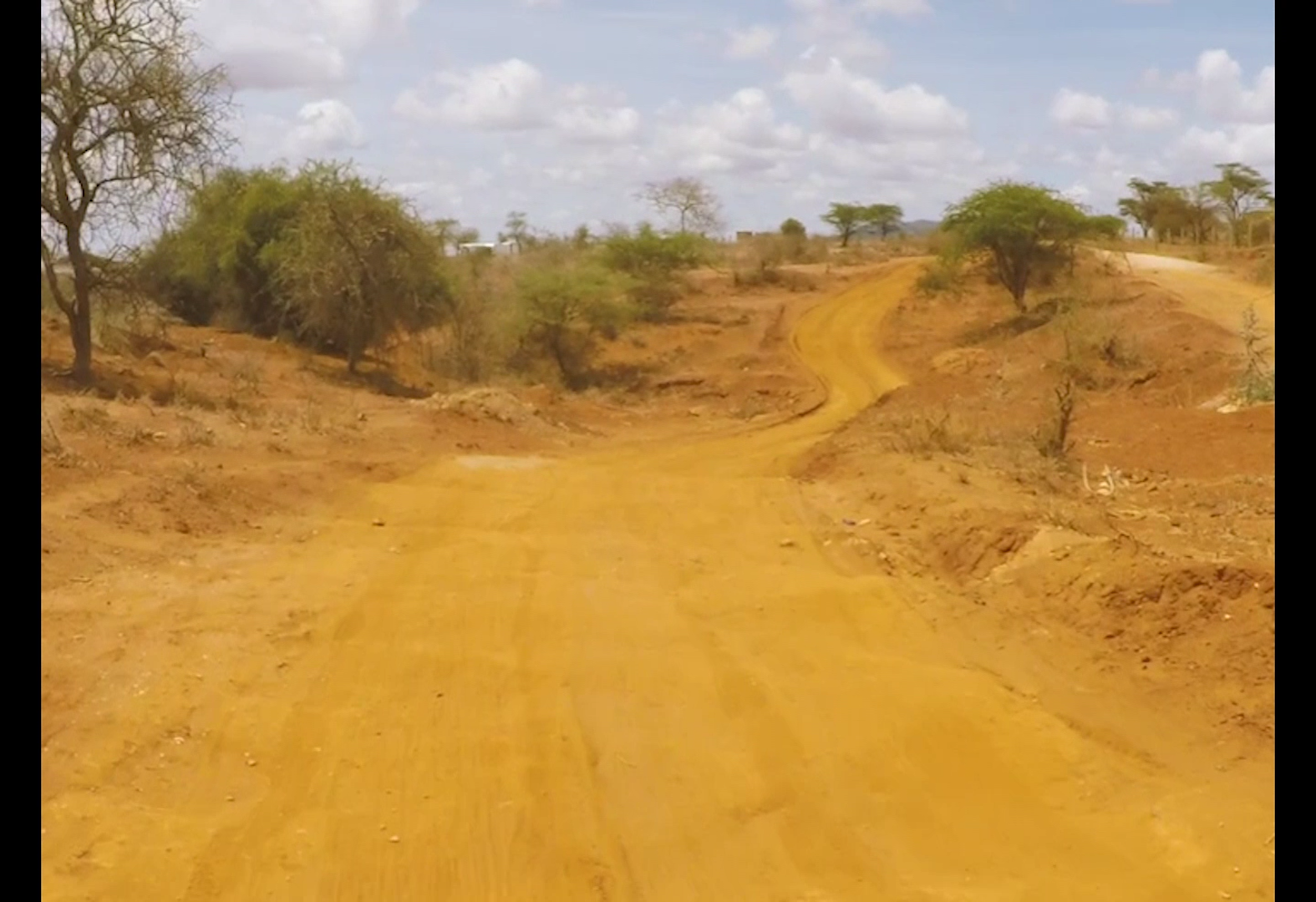
In 2018 I acquired a two-acre piece of land in Ngatataek; Kajiado, Kenya to serve as an observatory. This piece of land has allowed me to witness the soil eroded area and seasonal river on site over time, with the river becoming a way to think about durational practice and time as something that happens outside of us. Its transformation has enabled me to investigate the potency of images by observing the changing landscape as a site of possibility.
The acquisition began with a set of measurements relating to an area in my studio occupied by a machine; in this case a projector and where the projected image would fall. This ‘image’ was catapulted out of the studio through a set of coordinates, subsequently locating a piece of land and seasonal river 150+km away. The land and river exist in a state of both wholeness and collapse in a region that bears deep colonial and ecological markers in Kenya. The land thus produces a site where something emerges in a sort of backwards reading & where a set of blueprints undoes time through this shapeshifting river.
Leave a Reply